Adres: 1027 MAIN AVE APT 4C, BROOKINGS, SD 57006-1245, USA
Co to jest 57006-1245? 57006-1245 to kod pocztowy 5 Plus 4 liczba 1027 MAIN AVE APT 4C, BROOKINGS, SD, USA. Bliższe informacje poniżej.
57006-1245 Podstawowe informacje

Adres

57006-1245 odpowiada następującym adresom.
| Lista adresów | Status |
|---|---|
| 1027 MAIN AVE APT 1, BROOKINGS, SD 57006-1245, USA | nieważny |
| 1027 MAIN AVE APT 4, BROOKINGS, SD 57006-1245, USA | nieważny |
| 1027 MAIN AVE APT 3C, BROOKINGS, SD 57006-1245, USA | ważny |
| 1027 MAIN AVE APT 5C, BROOKINGS, SD 57006-1245, USA | ważny |
| 1027 MAIN AVE APT 5, BROOKINGS, SD 57006-1245, USA | nieważny |
| 1027 MAIN AVE APT 2C, BROOKINGS, SD 57006-1245, USA | ważny |
| 1027 MAIN AVE APT 6C, BROOKINGS, SD 57006-1245, USA | ważny |
| 1027 MAIN AVE APT 2, BROOKINGS, SD 57006-1245, USA | nieważny |
| 1027 MAIN AVE APT 1C, BROOKINGS, SD 57006-1245, USA | ważny |
| 1027 MAIN AVE APT 4C, BROOKINGS, SD 57006-1245, USA | ważny |
Adres odpowiadający kodowi ZIP+4 57006-1245 uległ zmianie. Przechowujemy nowe i stare informacje o kodzie pocztowym 57006-1245, sprawdź status. Jeśli Twój adres jest oznaczony na tej stronie jako nieprawidłowy, nie będziesz mógł użyć 57006-1245 jako pocztowego kodu pocztowego.
Adres Przykład

BROOKINGS SD 57006-1245
UNITED STATES OF AMERICA
57006-1245 Przykład Koperty

-
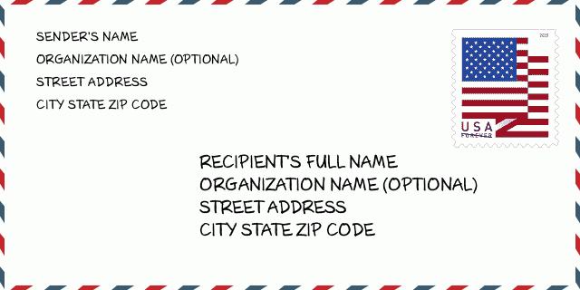
To jest przykład koperty amerykańskiej. Wpisz informacje o nadawcy w lewym górnym rogu i informacje o odbiorcy w prawym dolnym rogu. Niezbędne informacje to imię i nazwisko nadawcy/odbiorcy, adres, miasto, województwo i kod pocztowy. Dane adresowe odbiorcy zostały podane w celach informacyjnych. Ogólnie rzecz biorąc, jeśli nie masz pewności co do pełnego 9-cyfrowego kodu pocztowego, możesz wpisać tylko 5-cyfrowy kod pocztowy, aby uniknąć utraty paczki.

57006-1245 Podstawowe znaczenie

-
Co oznacza każda cyfra kodu pocztowego 57006-1245? Kod pocztowy + 4 składa się z dwóch części, pierwsze pięć cyfr może znajdować się w urzędzie pocztowym, a ostatnie cztery cyfry mogą identyfikować segment geograficzny w pięciocyfrowym obszarze dostawy. Cyfry 6-7 oznaczają sektor lub kilka bloków, a cyfry 8-9 oznaczają odcinek lub jedną stronę ulicy.

Mapa

To mapa sieciowa adresu 1027 MAIN AVE, BROOKINGS. Mapę można przybliżyć. Mapa przeznaczona jest wyłącznie dla celów informacyjnych.
Adres: 1027 MAIN AVE APT 4C, BROOKINGS, SD 57006-1245, USA
Komentarz


Dodaj komentarz